Map and Directions to Hogscald
From Eureka Springs, AR:
Head South on HWY 23 for approximately 7 miles.
Turn Right (West) at Buck Mountain Road (CR-108).
Take a left at the fork onto Hogscald Road (CR-148 / CR-56).
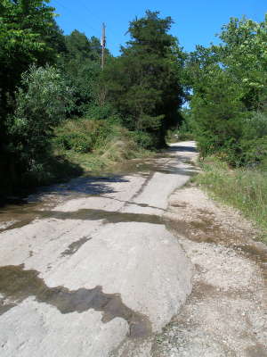
At appx. 1.5 miles, you will drive over a rock slab in the road.
The infamous "scalds" can be seen on the left side of the road.
Continue West on Hogscald Road for a view from the top of the falls.
Featured Articles:
|
The Origins of Hogscald The Church at Hogscald Hogscald as Community Center Hogscald Today |
Hogscald During the Civil War Uncle Jap's Whiskey Coup |

